Habitats & Habitat types
Habitat means the resources, physical and biotic factors that are present in an area, that enable an organism to live, thrive and reproduce. Habitat, is a species-specific term, fundamentally different from concepts such as environment or vegetation assemblages, for which the term "habitat-type" is more appropriate.
Physical factors may include (for example): soil, moisture, range of temperature, and light intensity. Biotic factors will include the availability of food and the presence or absence of predators. Every species has particular habitat requirements, with habitat generalist species able to thrive in a wide array of environmental conditions while habitat specialist species requiring a very limited set of factors to survive. The habitat of a species is not necessarily found in a geographical area, it can be the interior of a stem, a rotten log, a rock or a clump of moss; a parasitic organism has as its habitat the body of its host, part of the host's body (such as the digestive tract), or a single cell within the host's body.
Habitat types are environmental categorizations of different environments based on the characteristics of a given geographical area, particularly vegetation and climate. Thus habitat types do not refer to a single species but to multiple species living in the same area.
Mapping habitat types
The first step towards developing understanding of the biodiversity of an area is to identify and map the types of habitat and begin the process of creating an inventory of the animals and plants living in or accessing each habitat type. The Phase 1 Habitat Classification and associated field survey technique is a standardised system to record semi-natural vegetation and other wildlife habitats. The approach is designed to cover large areas of countryside relatively rapidly. Each habitat type is identified by way of a brief description of its defining features. It is then allocated a specific name, an alpha-numeric code, and unique mapping colour.
The Phase 1 classification comprises ten broad high-level categories ((A–J):
A – Woodland and scrub
B – Grassland and marsh
C – Tall herb and fen
D – Heathland
E – Mire (wetland)
F – Swamp, marginal and inundation
G – Open water
H – Coastland
I – Exposure and waste
J – Miscellaneous
Amongst these 10 broad habitat categories are 155 specific habitat types are recognised, each having its own name, alpha-numeric code, description and mapping colour.
|
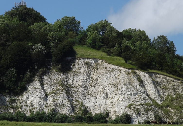
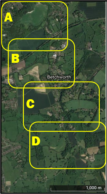
Mapping Betchworth habitat types Within the Betchworth Biodiversity programme of work we will attempt to create an initial map of the habitat types in the village and its environs. In 2022 we will undertake a pilot mapping excerise on the northern side of the village an area approximately 2km x 5 km (see photo on right). The initial fieldwork is captured in the movies that can be found on the educational page. |
|